In 1900, Joseph Brunswick, my husband's gg-grandfather, was living in German Twp, Auglaize County, Ohio with his wife, Bernadina (née Rolfes), stepson, Clemens Vehorn, and sons, Julius, Lawrence, Edwin, and Frank. He is listed as a farmer and land owner. (Click on image for larger view.)
There are several mistakes in the names and birth dates on this family's census form. Several of the names are spelled incorrectly, and the enumerator failed to note that Clemens ('Clarence' on the form) was Joseph's stepson (who had a different surname). Also, I have located county probate birth records for every member of this family, and the only date of birth that is correct on the census is Frank's, who was born only a few months before the census was taken. The enumerator did correctly record the couple's number of years married at six years; according to Joseph's obituary, they were married 4 Apr 1894.
There are several mistakes in the names and birth dates on this family's census form. Several of the names are spelled incorrectly, and the enumerator failed to note that Clemens ('Clarence' on the form) was Joseph's stepson (who had a different surname). Also, I have located county probate birth records for every member of this family, and the only date of birth that is correct on the census is Frank's, who was born only a few months before the census was taken. The enumerator did correctly record the couple's number of years married at six years; according to Joseph's obituary, they were married 4 Apr 1894.
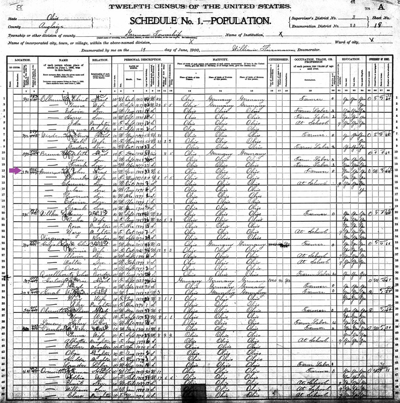
Joseph Brunswick and Family, 1900
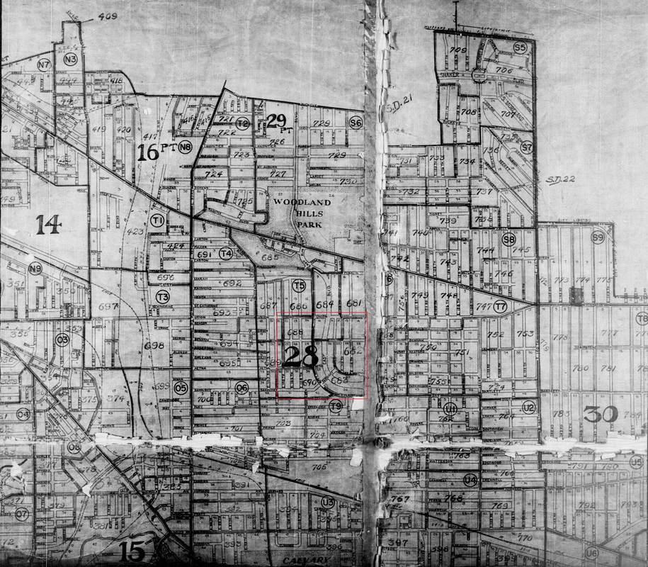
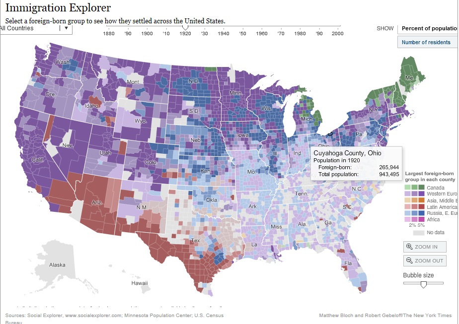
The location of Joseph's land can be seen in this 1898 Land Ownership Map for Auglaize County, Ohio. The farm was on the western edge of German Twp, and shared a border with Mercer County. The area of gridded streets in German Twp is the town of New Bremen, and farther south in Jackson Twp is the town of Minster. This area of Auglaize County, along with neighboring Mercer County, was heavily settled by German Catholic immigrants during the 19th century. (Click on image for larger view.)
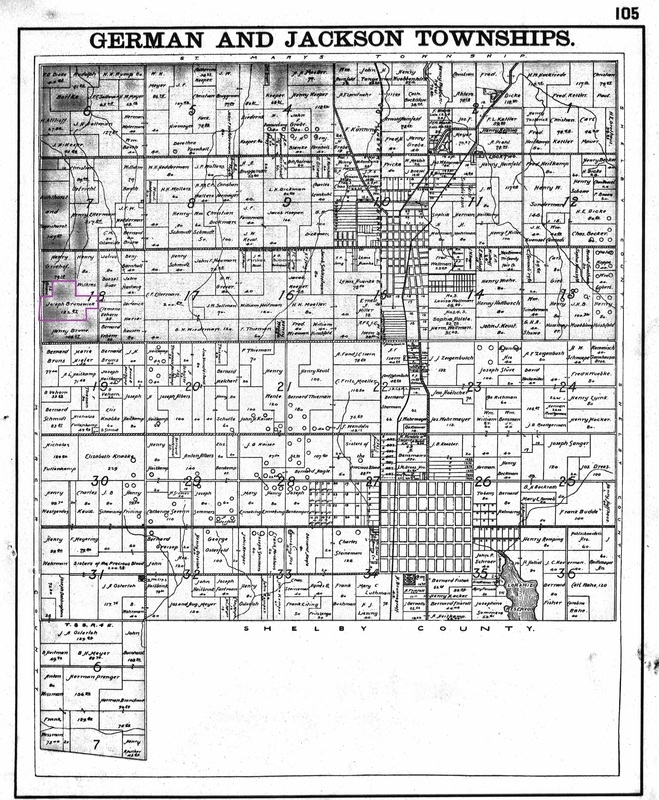
1898 Auglaize Co, Ohio Land Ownership for German and Jackson Townships.
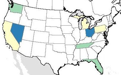
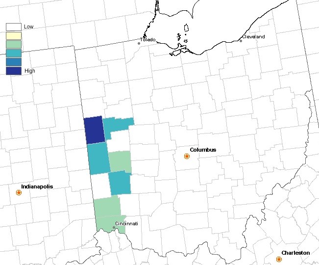
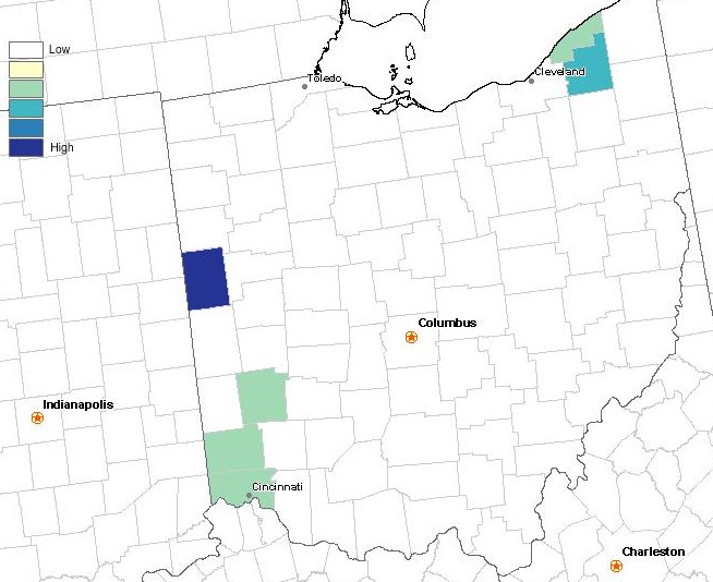
In the modern-day map below, Joseph's land would be located in the rectangle between Amsterdam Rd, Wilker Rd, OH-274, and Mercer-Auglaize Co Line Rd. His land would have been about in the middle of that rectangle.
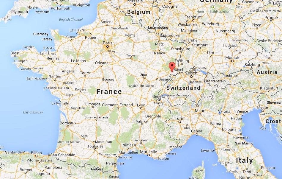
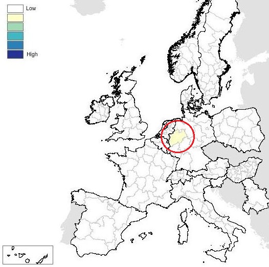
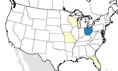
Map below showing Auglaize County. The purple circle indicates the location of German and Jackson Townships.

Image source: Wikimedia Commons
Census source: Year: 1900: Census Place: German, Auglaize, Ohio; Roll: T623_1240; Page 19A; Enumeration District: 33
Map source: U.S., Indexed County Land Ownership Maps, 1860-1918; Collection NumberL G&M_27; Roll Number: 27
©2014, copyright Emily Kowalski Schroeder
Map source: U.S., Indexed County Land Ownership Maps, 1860-1918; Collection NumberL G&M_27; Roll Number: 27
©2014, copyright Emily Kowalski Schroeder